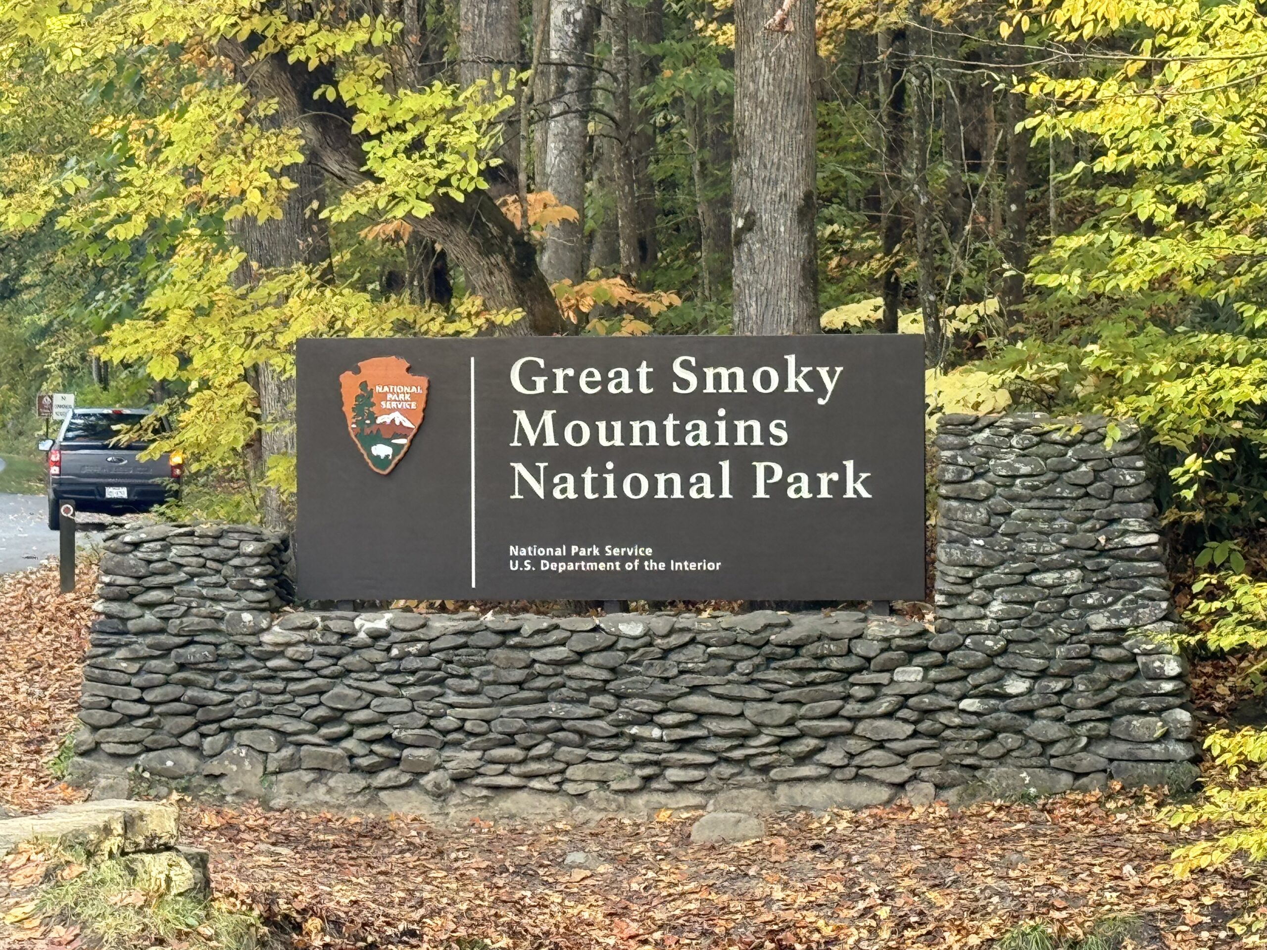
The Hardest Trail in Smoky Mountains, the Mt. Sterling via Baxter Creek trail, is a true test of endurance and determination for hikers in the Great Smoky Mountains National Park. This challenging day hike covers a round-trip distance of 12.2 miles and an impressive total elevation gain of 4,200 feet, making it the most strenuous trail in the park.
The Challenging Ascent to the Mt. Sterling Fire Tower

The Mt. Sterling via Baxter Creek trail begins at the Big Creek picnic area, one of the lesser-known access points in the park. The hike takes you through lush old-growth forests and stunning spruce-fir forests, offering a glimpse of the park’s diverse ecosystems. As you ascend, the trail becomes increasingly steep and demanding, with numerous switchbacks and rocky sections that challenge even the most experienced hikers.
The ultimate reward for conquering this trail is the panoramic view from the 60-foot Mt. Sterling Fire Tower at the summit. This historic structure, built in the 1930s, provides a breathtaking vantage point from which you can survey the surrounding peaks and valleys of the Great Smoky Mountains.
Navigating the Challenging Terrain

The Mt. Sterling via Baxter Creek trail is renowned for its challenging terrain, which includes:
- Steep Inclines: The trail features numerous sections with steep inclines, requiring hikers to use their hands and feet to navigate the rocky and uneven terrain.
- Exposed Roots and Rocks: The trail is littered with exposed roots and rocks, which can be treacherous for hikers, especially during wet or icy conditions.
- Narrow Passages: In some areas, the trail narrows, forcing hikers to navigate through tight spaces and around obstacles.
- Stream Crossings: The trail requires several stream crossings, which can be challenging during periods of high water flow.
Hikers must be prepared for these challenges and have the necessary skills and equipment to navigate the trail safely.
Preparing for the Hike
Hiking the Mt. Sterling via Baxter Creek trail is not for the faint of heart. Proper preparation is essential to ensure a safe and enjoyable experience. Here are some tips for preparing for this challenging hike:
- Physical Fitness: This hike requires a high level of physical fitness, as the steep inclines and long distance can be taxing on the body. Hikers should train for the hike by engaging in regular cardiovascular exercise and strength training.
- Proper Gear: Hikers should wear sturdy, well-broken-in hiking boots with good traction, as well as layers of moisture-wicking clothing to accommodate changes in weather. Trekking poles can also be helpful for navigating the steep terrain.
- Navigation and Safety: Hikers should carry a map, compass, and GPS device to ensure they stay on the correct trail. They should also pack emergency supplies, such as a first-aid kit, flashlight, and extra food and water.
- Timing and Conditions: The hike should be attempted during favorable weather conditions, as the trail can be treacherous in wet, icy, or snowy conditions. Hikers should also start the hike early in the day to allow enough time to complete the round-trip before nightfall.
Conquering the Challenge
Hiking the Mt. Sterling via Baxter Creek trail is a true test of endurance and determination. The challenging terrain, steep inclines, and long distance can be daunting, but the sense of accomplishment and the breathtaking views from the summit make it a rewarding experience for those who are up for the challenge.
For hikers who are up for the challenge, the Mt. Sterling via Baxter Creek trail offers a unique opportunity to explore the rugged beauty of the Great Smoky Mountains National Park and push their limits. With proper preparation and a determined spirit, hikers can conquer this challenging trail and enjoy the stunning panoramic views from the top of Mt. Sterling.
